
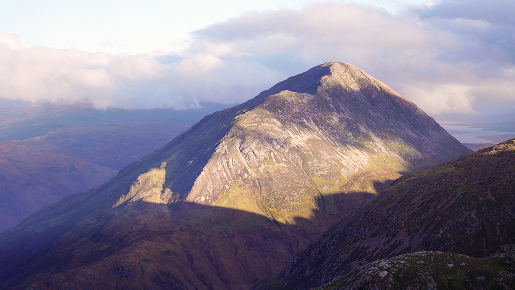
I have looked longingly at this ridge for a good many years now. From a distance it looks like an exciting proposition being steep, direct and with enough rocky outcrops to provide some good scrambly entertainment. It looks good on the map too with a plethora of serpentine contours leading directly to the summit cairn and, best of all, it was on the quiet side of the hill. Could the ridge live up to my expectations? today I would find out for sure…
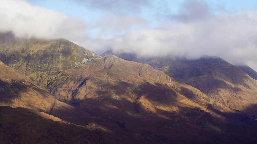
From the summit of the Pap of Glencoe: Sgor na h-Ulaidh and Meall Mor
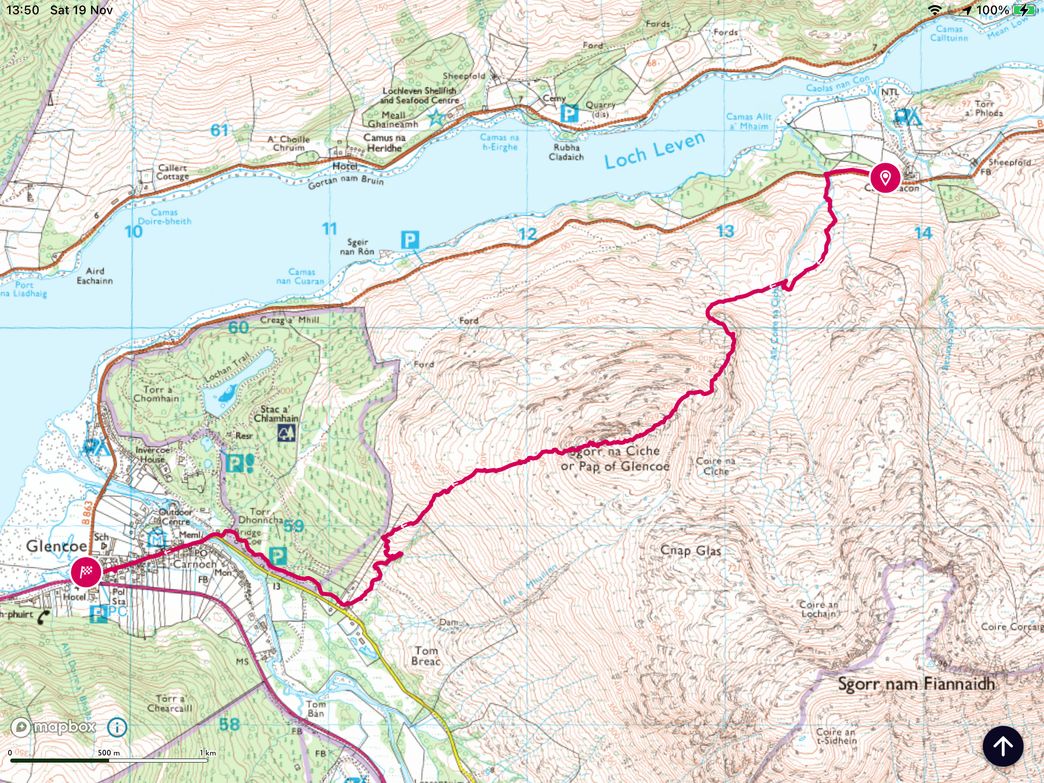
Although it was a bright and sunny day there was an autumnal chill to the air as I set off from Caolasnacon, walking briskly back along the road towards Glencoe. Just after the first bridge, over the Allt Coire na Ciche, I took a small path on the left which meanders up through scrubby birch woodland and heather. The path is remarkably distinct as it climbs to the right of the burn but very wet after all the recent rain. In fact the whole hill side was thoroughly waterlogged with beads of moisture clinging to the deep heather. The path crosses the Allt Coire na Ciche at the 60m mark then ascends to the left of a heathery shoulder to a subsidiary burn. Along this section it became clear why the path was so prominent: the orange flags of a six day trial route! One to avoid in early May then, but for now it was a very welcome path through what would be tough going through deep heather and tussocky grass otherwise. The flags lead to a small burn with a tiny waterfall above and the good path appears to cross here. Our route to the NE ridge breaks off from the trials path just before the crossing and stays on the right side of the burn following a tiny path which weaves through heather, becoming more distinct as height is gained, to emerge at a small boggy plateau at around the 150m mark. From here there is a good view of the ridge which rises on the right of the Allt Coire na Ciche (see below).
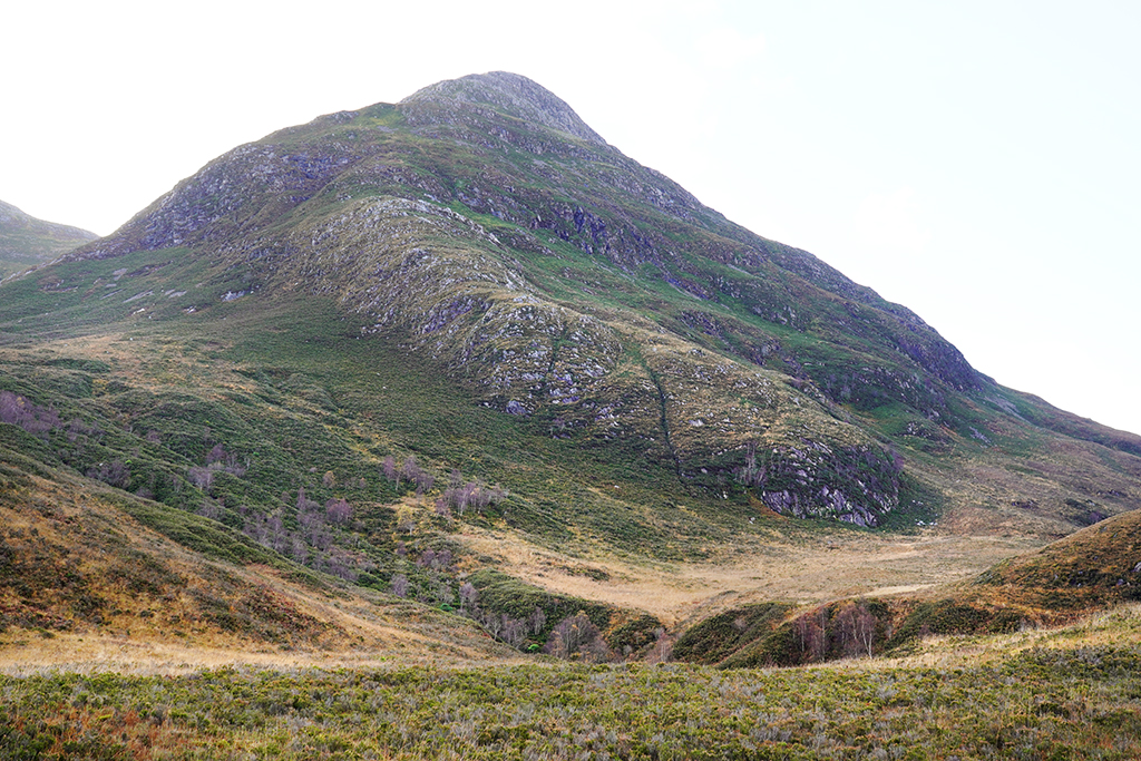
The base of the NE ridge
After negotiating the plateau I crossed the Allt Coire na Ciche next to an ancient sheiling, tucked into the side of the burn in the most secluded and quite beautiful of locations, surrounded by birch trees with the sound of the burn amplified by the enclosed glade. It reminded me a great deal of Michael’s Fold above Grasmere of which Wordsworth wrote so eloquently and I imagined a similarly perceptive observer from the Scottish bardic tradition weaving poems and spinning linguistic yarns from the doorstep, poems which rise and fall with the rhythm of the burn and the changing seasons.
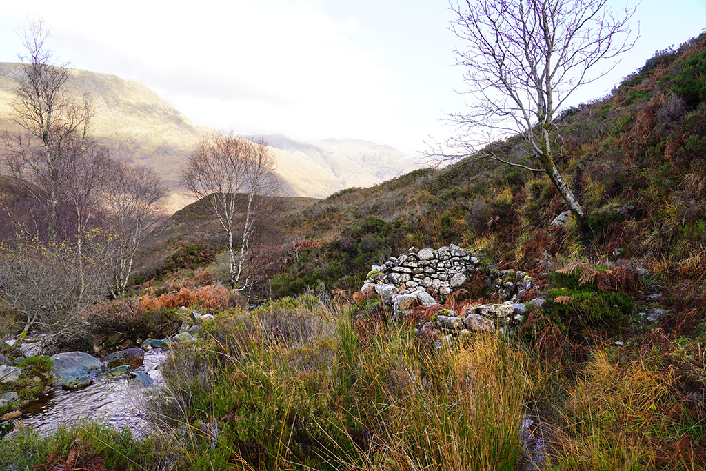
The sheiling on the banks of the Allt Coire na Ciche
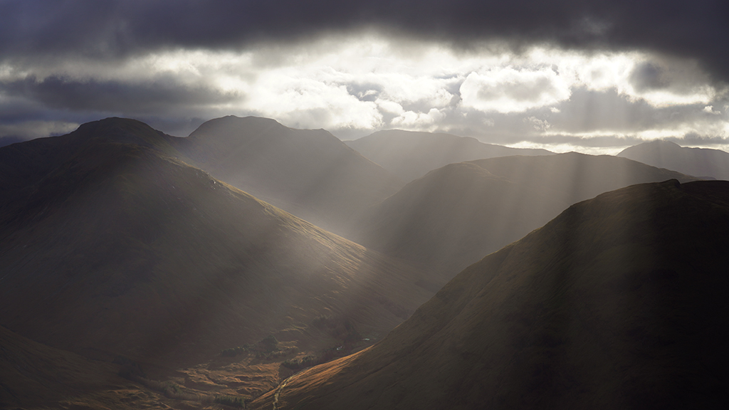
The sunlit slopes of the eastern Mamores above Kinlochleven
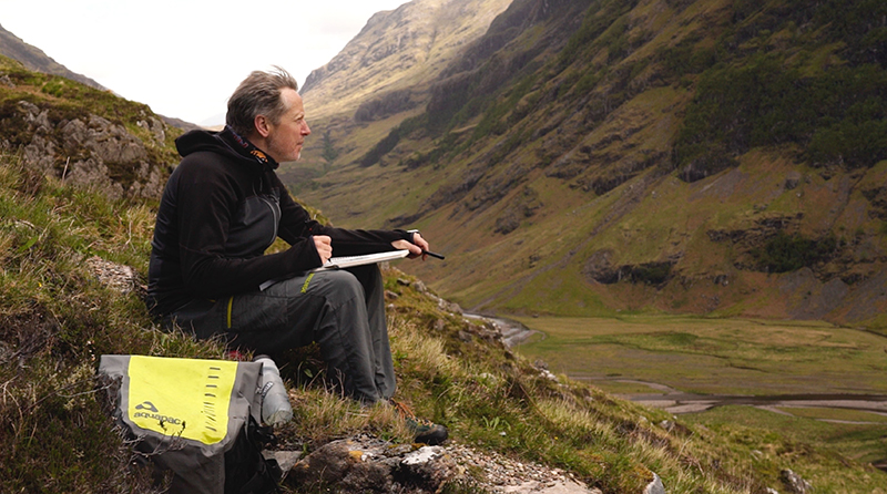
Slippery rocks made my crossing of the burn rather less poetic but I was sad to leave this hidden world, where time seemed to have been caught in an eddy, for the sodden hill side above. At least the deer trails made walking a good deal easier and soon I was at the base of the ridge. A direct ascent looked like a very steep proposition so I wandered over to the right hand side of the steep nose of the ridge to clamber up through heather by a tiny burn. After this steep little passage I wandered over to a large boulder and stopped for tea.
Garbh Bheinn from the NE ridge
The ridge is much easier than it appears from below and height is gained quickly through blaeberry and heather with only the occasional steeper section. Towards the top the ridge becomes a little more defined and some welcome rocky outcrops can be scrambled over but the whole ridge is predominantly and surprisingly grassy. Only at the very last are rocks encountered on the final push to the summit cairn.

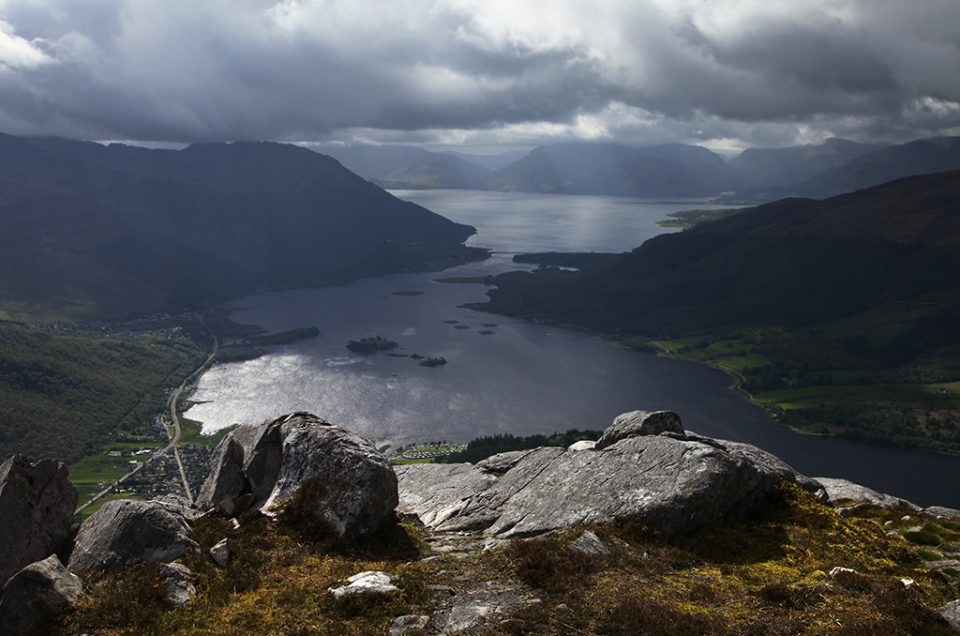
View south from the summit of Sgorr na Ciche (Pap of Glencoe)
After a late lunch on the summit I wandered west to the edge of the steep rocky nose of the Pap then followed the old path, which is still well cairned, down to the head of a dry burn at just under the 500m mark. The path down follows this burn, at first on a gentle gradient, then progressively steeper to meet a well made gravel track which services a small dam at the 100m mark. Unfortunately the path was very wet lower down but only to be expected after so much rain.

The dry burn on the descent towards Glencoe village
So the question is: did the ridge live up to my expectations? Well, curiously not. I had imagined a good deal more rock and steepness yet there was little. I had expected at least some moments of challenge yet there were none. So was I disappointed? not in the least. The ridge was a very pleasant meander, interesting throughout, was quiet and had great views north over to the Mamores but the highlight for me was definitely the dilapidated sheiling in it’s quiet grove, but I can’t quite work out why. Some places just have a feel to them, are somehow more than their component parts. It’s not even about aesthetics, charming though the surrounds were, there is just a feeling of time, timelessness, and abandoned dwellings always remind me of the passage of history, of lives lived and forgotten. But there was no melancholy here, the bustling energy of the burn had seen to that, and the ruins had new stories to tell; they were now home to the deer and foxes, to stoat and marten and the slowly re generating birch woodland. Just nature, doing its thing, and I love it…
You might also like
Leave a reply