- A gray cat slinks past a wooden house. There’s something a little intimidating attempting to describe.

Research
Research
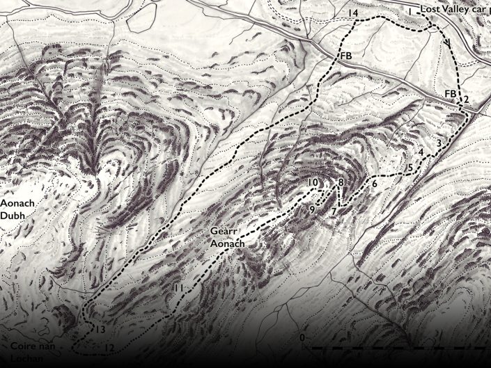
Route planning and testing
The concept of the book was to provide a detailed, comprehensive study of the massif, which includes the two Munros of Bidean nam Bian and Stob Coire Sgreamhach, along with all the subsidiary tops and the outer peaks. The book would be split into separate chapters for each summit. Of course, we needed to include all the well trodden walking paths to the summit of Bidean, but it was just as important for us to include routes on the outer peaks and the tops as well. This often gave shorter walks of great variety and also less frequented though equally dramatic routes on lesser known hills With a great burst of enthusiasm, I set out to walk the well known routes and, the exciting bit, to find some new ones. In the space of three months, I had a grand total of forty routes on the hill and the page count was fast approaching five hundred.
This was not going to be the pocket guide we had envisioned, and there needed to be some careful pruning. Some initial routes were discounted due to them being rather exposed for a true walking guide, others for route finding difficulties or dangerous ground, but I finally settled on 31 excellent walks, which kept the page count reasonable yet still fulfilled the brief. I made copious notes on the ascents, particularly if it was on pathless terrain, but found that even then, I often needed to repeat a route just to make sure.
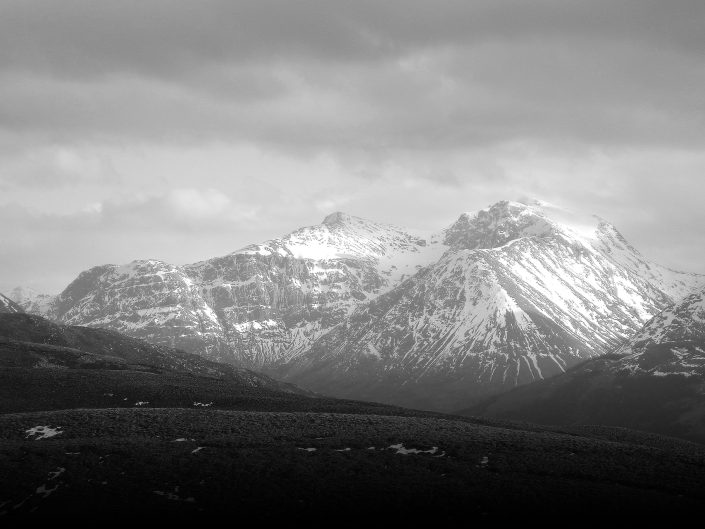
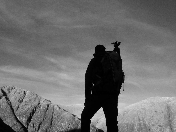
All the routes were walked as ascents and descents at first, but it soon became apparent that some routes were steep and potentially problematic in descent. I, therefore, decided on the idea of steep up, easy down for the routes on pathless terrain, I don’t want to frighten off my potential readership after all. The route planning stage proved to be supremely enjoyable, and I found so many interesting corners of the Bidean massif that I might never have found without the excuse of producing this walking guidebook. It proved time and again that even on a busy summer’s weekend, and in an area as popular as Glen Coe, most of the hill is quiet away from the main paths. The hidden corners and secluded corries of this complex mountain massif live long in the memory.
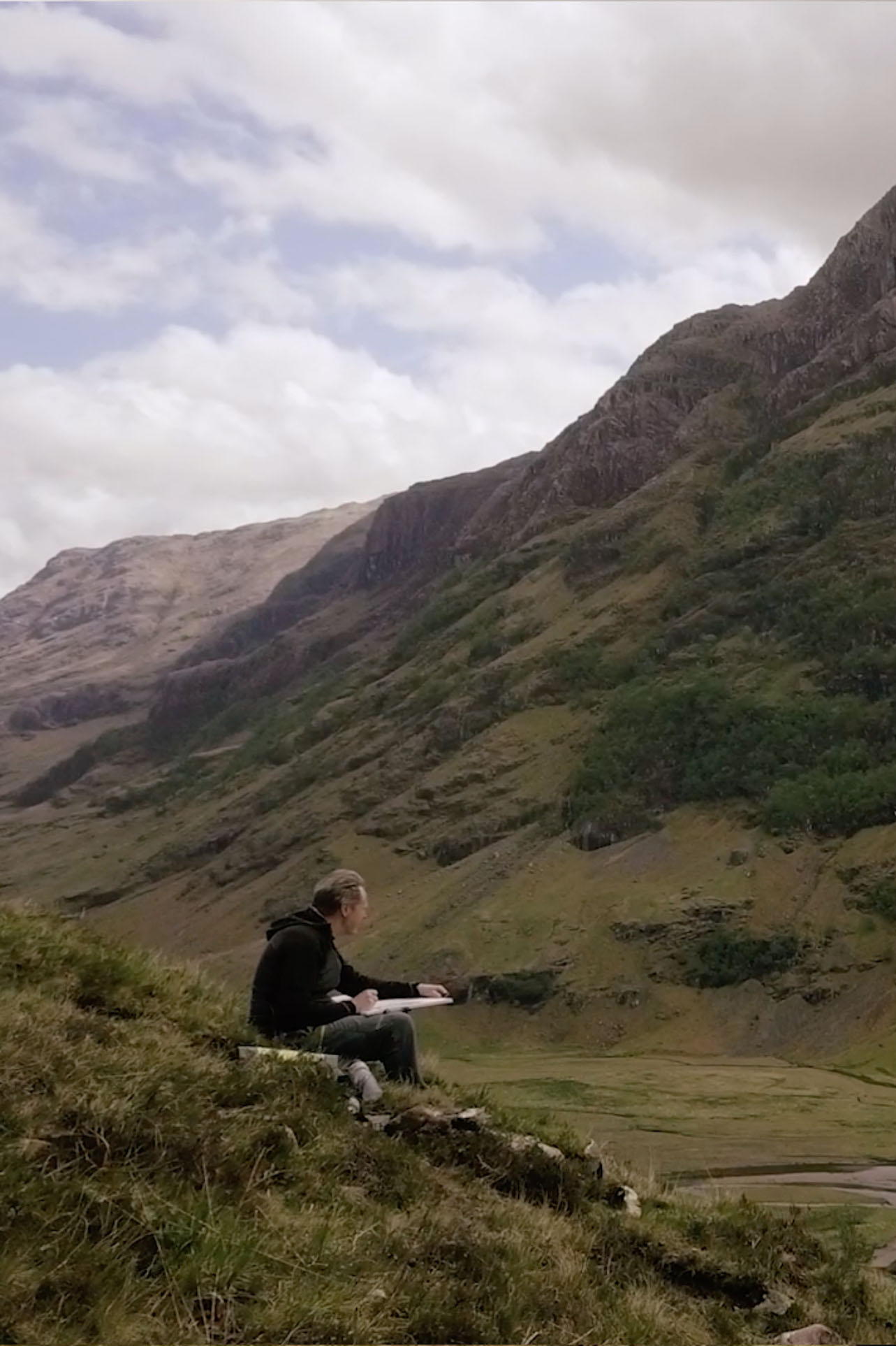
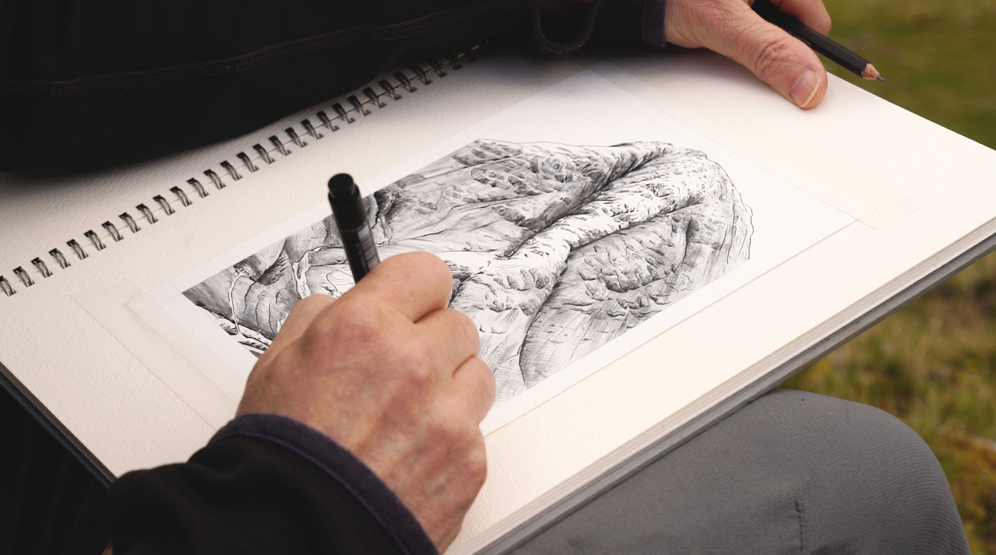
After all the routes had been written up, illustrated and mapped, they were all meticulously tested with the help of some extremely kind volunteers. During this stage of continuous route finding and checking, I tallied up a total of almost 47,000 metres of ascent. Every day on the hill was a particular joy.
Recent Portfolios
Introduction
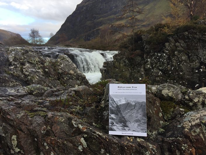
The Book
Our Vision