- A gray cat slinks past a wooden house. There’s something a little intimidating attempting to describe.

The Maps
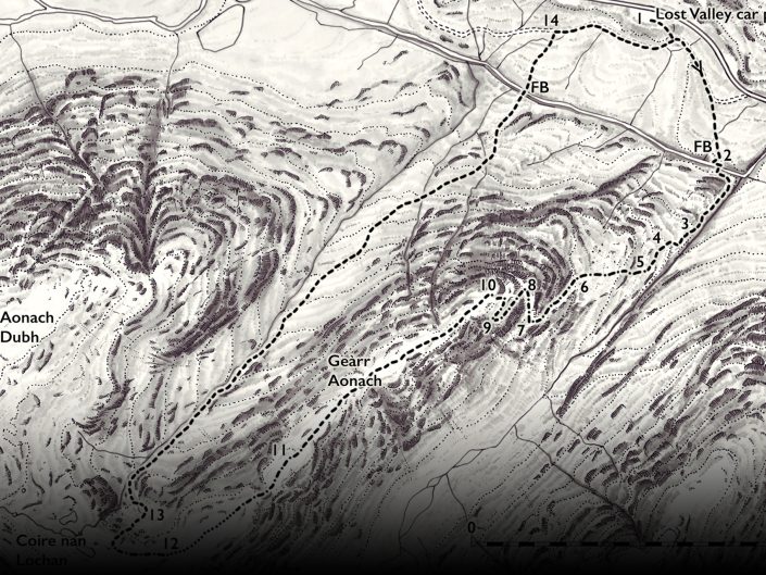
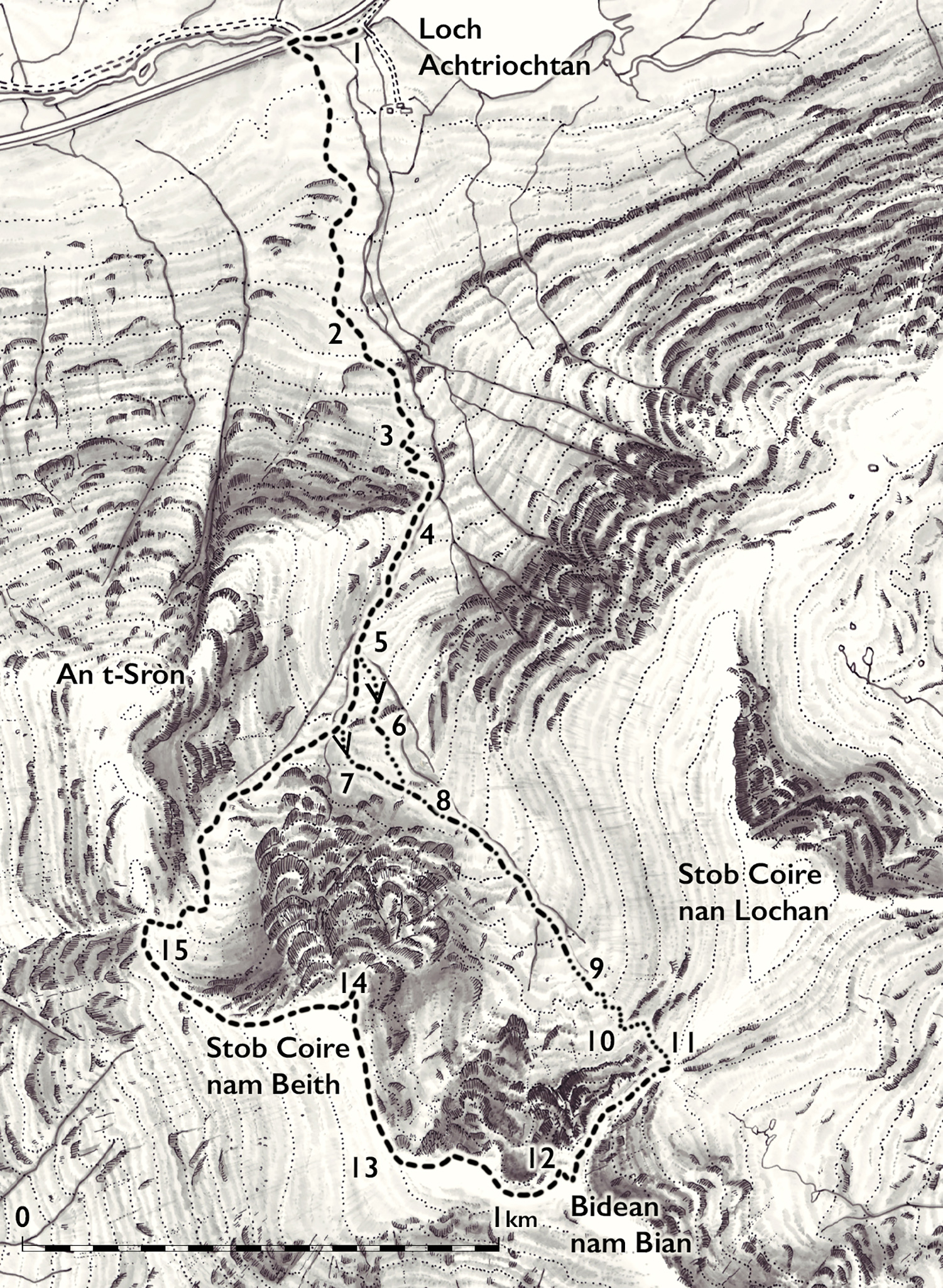
Hand drawn maps give a distinctive character to the publications
The maps are all hand drawn and proved to be a real labour of love. My wish was that the walks would be able to be followed by using the maps and illustrations alone, with only a brief glance at the text for clarification if necessary. All well and good, but this meant that the mapping needed to be extremely accurate. The maps were drawn out with a fine ink pen, starting with the contour lines then moving on to the rivers, burns and crags. After the maps were fully rendered a light wash of translucent warm black watercolour, diluted in isopropyl alcohol, was applied to give shadow detail and emphasise the terrain. The process proved to be extremely labour intensive and six weeks after starting the maps I emerged from my studio looking pale and hollow eyed…but with accurate maps.
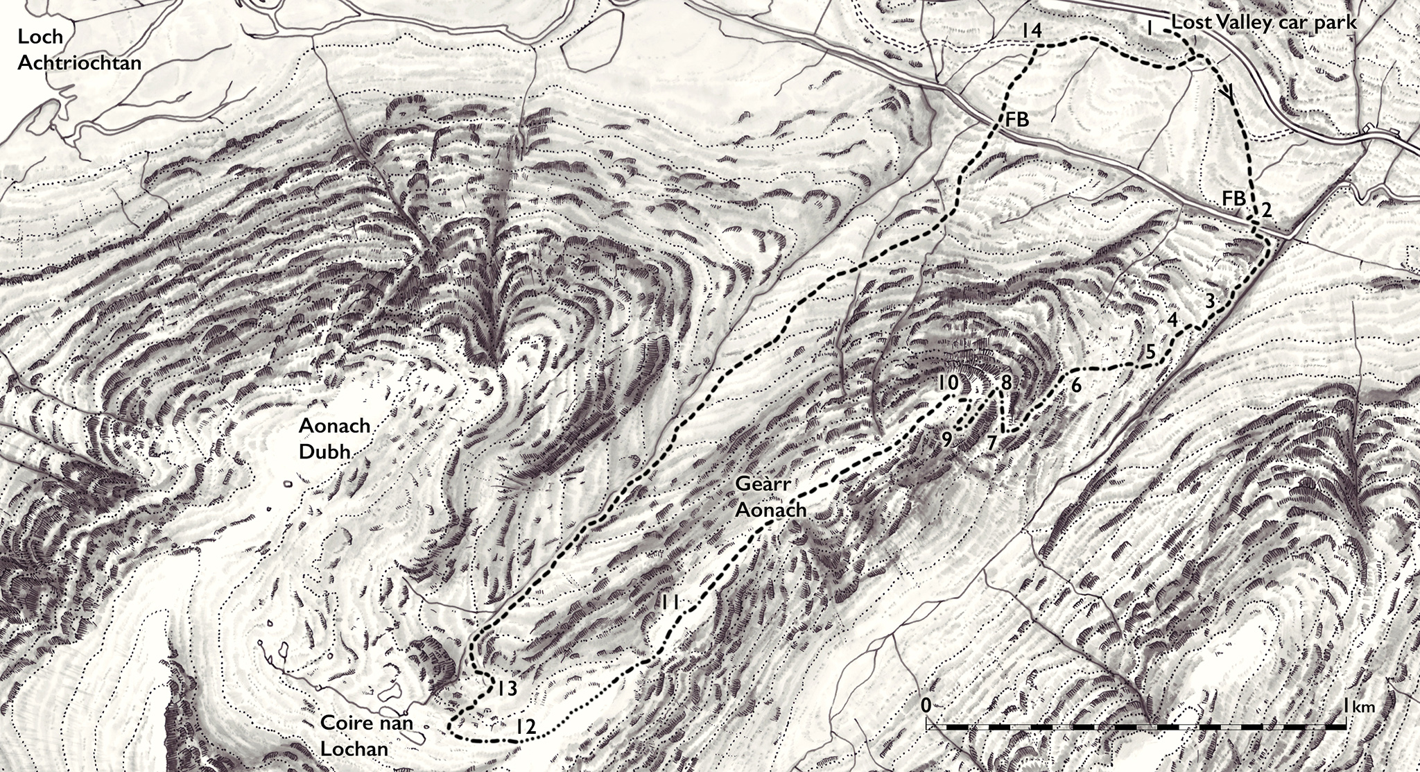
Hand drawn map of Glen Coe
Recent Portfolios
Introduction
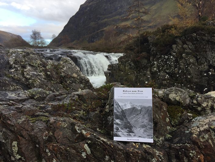
The Book
Our Vision